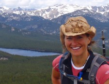
Shoshone Lake is a big lake that is in my backyard. Tucked in the foothills of Wyoming’s southern Wind River Range, the lake is situated at about 10,000′, and in the Shoshone National Forest.
My husband, Jerry, a friend, Kathy Swanson, of Casper, WY, and I hiked to Shoshone Lake and beyond on July 8. The route we hiked follows some trail, but mostly two-track/ATV road. As a result, many hikers do not hike to Shoshone Lake. Pity!
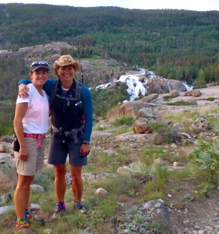
I hike to Shoshone Lake 2-3 times a year if possible. In my humble opinion, it’s the hardest (best training) marathon hike near my town of Lander, WY, and it provides one of the best views of my backyard.
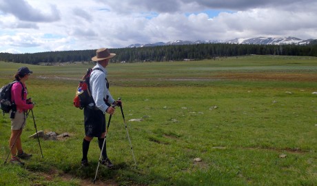
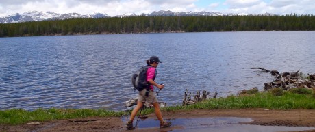
The “prize” — the reason we go to such great lengths on this hike — is Cyclone Pass. The top of Cyclone Pass provides one of, if not the, most glorious views of the southern Wind River Range. While one could do this as an out-and-back hike, or ride a jeep or an ATV to Cyclone Pass and Shoshone Lake, we typically choose to hike a point-to-point route.
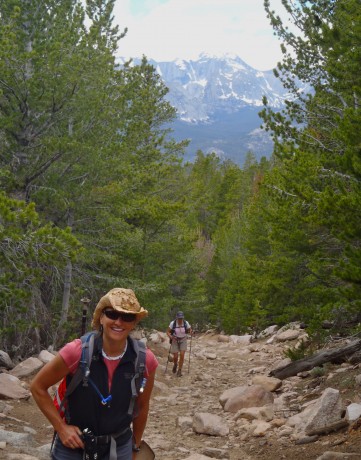
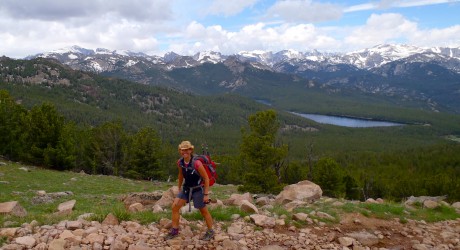
Our hike started at Bruce’s Bridge, about nine miles southwest of Lander. From there, we hiked seven miles on the Middle Fork Trail, to a junction that took us uphill, on a grunt, for three miles, before joining the Shoshone Lake Trail at 10 miles. From there, we hiked briefly through the forest before it opened up into the vast — and lush — Shoshone Basin. After hiking through the basin, we arrived at Shoshone Lake, which marked a little over 13 miles.
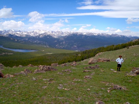
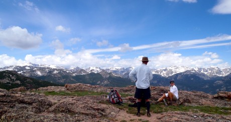
From there, it’s a mostly-level trail alongside the lake’s shore for a little over two miles. Next up is Cyclone Pass. And there are no two ways about it. Ascending Cyclone Pass is a grunt. It’s pretty much straight up over all kinds of rock scatter, and on July 8, some running water. The ascent of Cyclone Pass is about 1.5 miles and 650 vertical feet. Because it comes at a point when you have about 15 miles of mostly uphill miles on your legs, it’s a real “character-builder.”
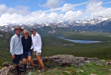
No matter. Going uphill is not an unreasonable cost, given the prize at the top. You can hopefully see in the photos here of Cyclone Pass and get the picture. 
After an extended break at top of Cyclone while taking in the awesome views, we then started our descent toward Baldwin Creek.
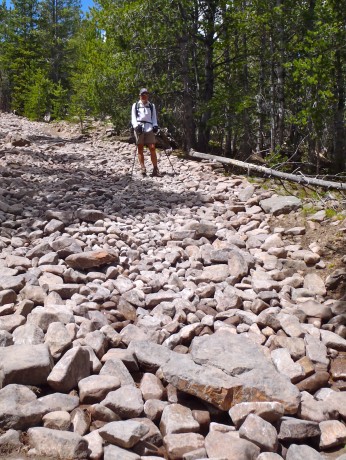
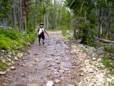
Despite the fact it’s all downhill from Cyclone Pass, arguably the toughest part of the day is what’s next, a 2-mile section known as The Chute. This is basically a dried-up creek bed. Some areas are nothing but rock on rock. For our hike there was a actually a stream running down much of the middle of the The Chute. It’s hard on the legs. It is sustained and unrelenting downhill on nothing but rocks on rocks. Let’s just call it what it is: another character-builder.
Following The Chute, we hike by Suicide Point, a great feature that is aptly named. From there it’s just downhill, downhill and downhill, and more rocks and rocks and rocks. To be sure, the descent, even beyond The Chute, is a very rocky one.
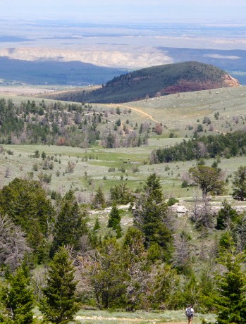
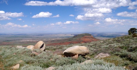
My dad was to pick us up at the parking lot above the Shoshone Lake Switchbacks, off Baldwin Creek Road at 3 pm, but he was delayed in receiving our Spot Messenger text regarding our ETA, so we ended up descending a few of the switchbacks. (By then, in dire straits, I took a small bite of a snake on that portion. It’s my dad’s fault?) All told, we hiked about 25 miles, including 4,300′ of elevation gain.
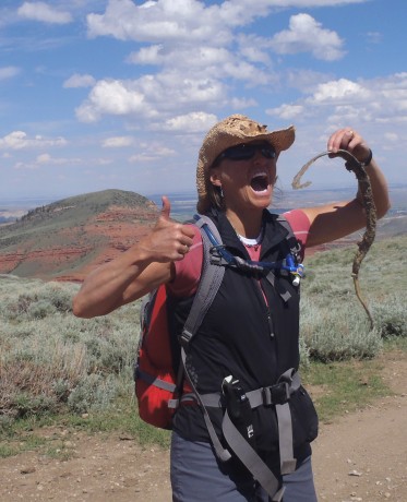
It was an epic day. I would even go so far as to say it was stellar. It had all the important features: camaraderie, stunning views, character-building, and a reat health benefit to boot.
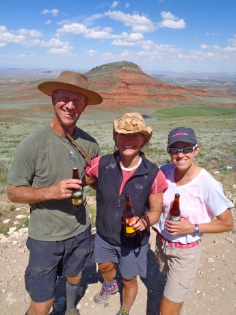
Here is a very short video from Cyclone Pass:
The post Cyclone Pass “Prize” Makes Shoshone Lake Hike (Grunt) Worthwhile appeared first on Have Media Will Travel.